
Tuesday, December 30, 2008
Sunday, December 28, 2008
Saturday, December 27, 2008
FAROP Model
FAROP Global
Notes:
FAROP model output are the bottom 3 parameters.
For latest run, click the top left link where it says DTG under the parameters.
Notes:
FAROP model output are the bottom 3 parameters.
For latest run, click the top left link where it says DTG under the parameters.
NCODA Model
NCODA Model FNMOC
For most recent run, click the first link on the top left under the parameters where it says DTG.
For most recent run, click the first link on the top left under the parameters where it says DTG.
FLEWT Model
FLEWT N. Atlantic
FLEWT East Pacific
If all but one row of parameters have gray circles, click on the upper left-most link in the set of links on the bottom of the parameters where it says DTG. That is the most recent run.
FLEWT East Pacific
If all but one row of parameters have gray circles, click on the upper left-most link in the set of links on the bottom of the parameters where it says DTG. That is the most recent run.
HRRR Model
NOAA HRRR-WRF Imagery
HRRR Convective Probability Forecast (Do not run on a slower computer- may take a while to load)
HRRR Chem Model Fields
HRRR Hourly
HRRR 15 Minute Intervals
HRRR Reflectivity Matrix
HRRR Soundings
HRRR Aviation Hourly
HRRR Aviation 15 Minute Intervals
HRRR Convective Probability Forecast (Do not run on a slower computer- may take a while to load)
HRRR Chem Model Fields
HRRR Hourly
HRRR 15 Minute Intervals
HRRR Reflectivity Matrix
HRRR Soundings
HRRR Aviation Hourly
HRRR Aviation 15 Minute Intervals
Monday, December 22, 2008
Friday, December 12, 2008
NAEFS Ensembles
North American Ensemble Forecasting System- Home Page
Climate Prediction Center 8-14 Day NAEFS Temperature Guidance
Official NAEFS Page Products
NCEP/EMC NAEFS Forecasts
Environment Canada NAEFS Temperature Plots
Environment Canada NAEFS Probability of a Given Situation Happening
Environment Canada NAEFS Standard Deviation Charts
NCEP NAEFS Guidance
Climate Prediction Center 8-14 Day NAEFS Temperature Guidance
Official NAEFS Page Products
NCEP/EMC NAEFS Forecasts
Environment Canada NAEFS Temperature Plots
Environment Canada NAEFS Probability of a Given Situation Happening
Environment Canada NAEFS Standard Deviation Charts
NCEP NAEFS Guidance
Wednesday, December 3, 2008
Saturday, November 29, 2008
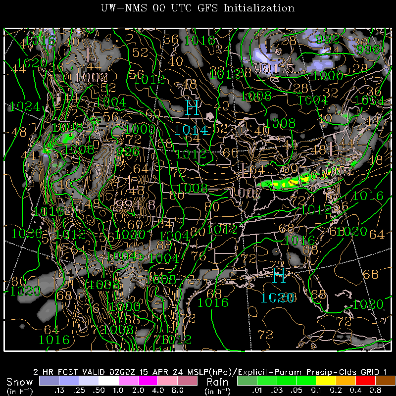
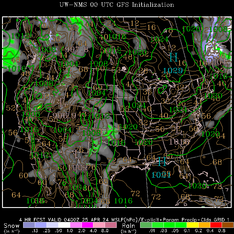
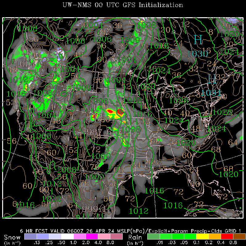
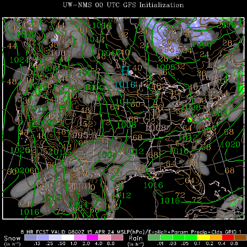
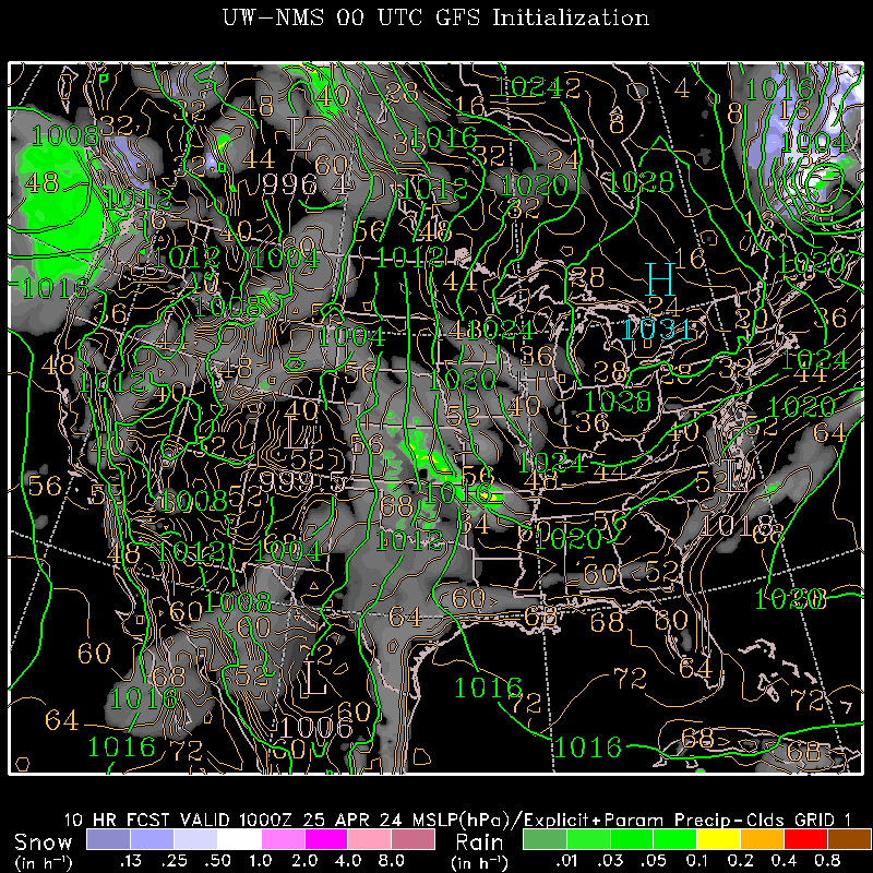
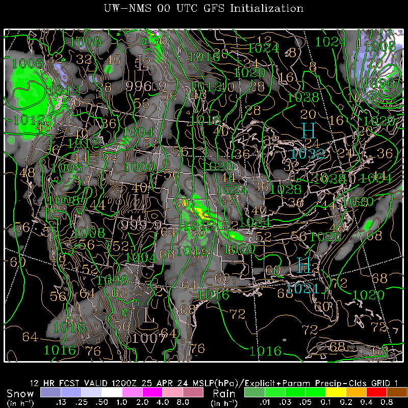
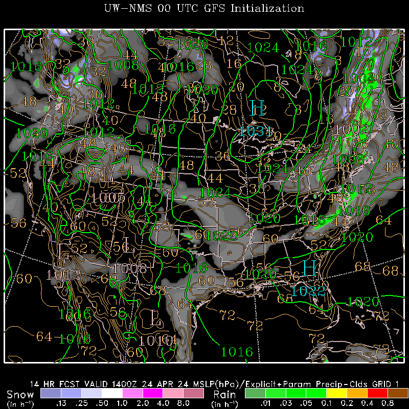
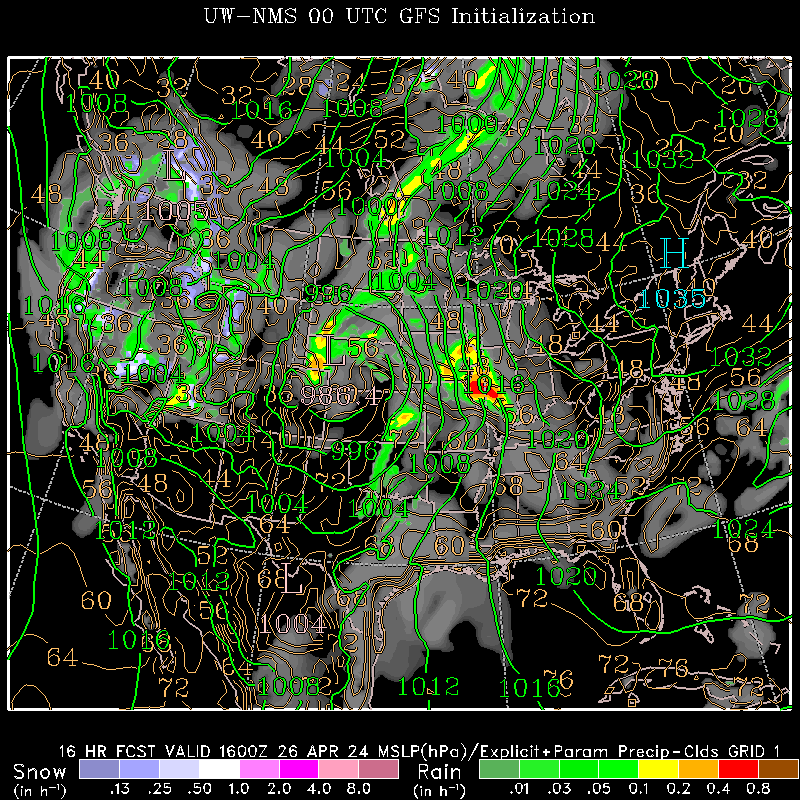
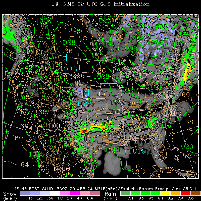
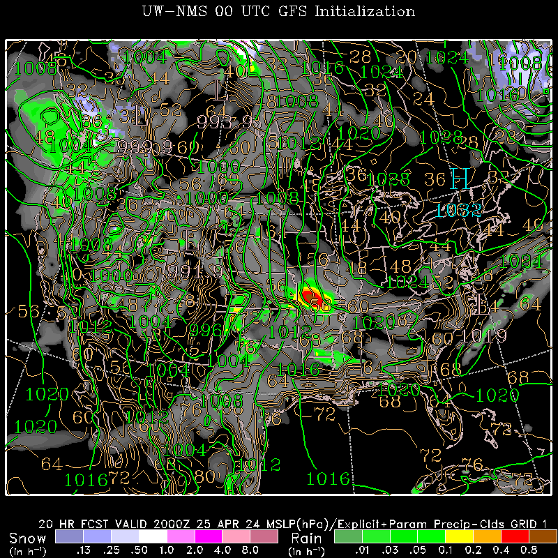
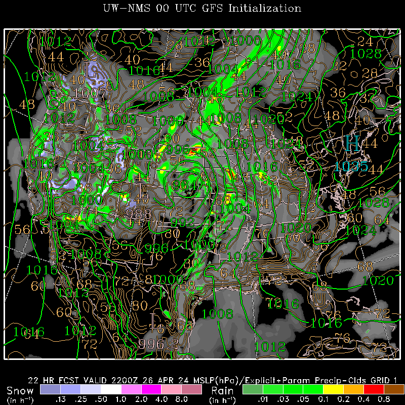
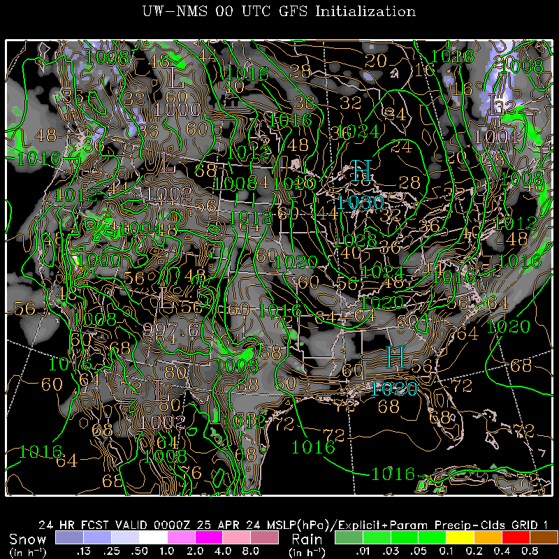
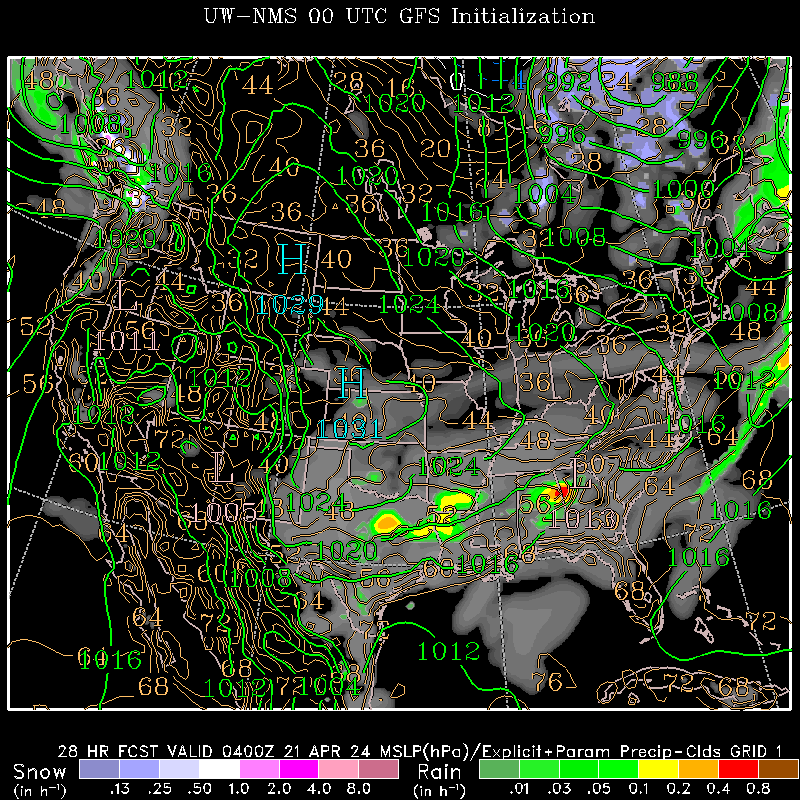
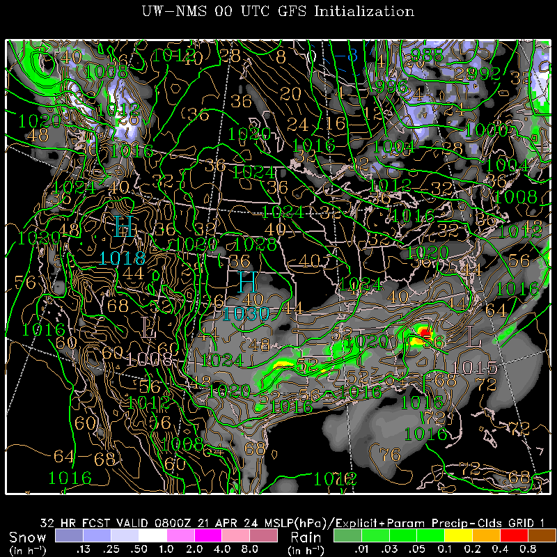
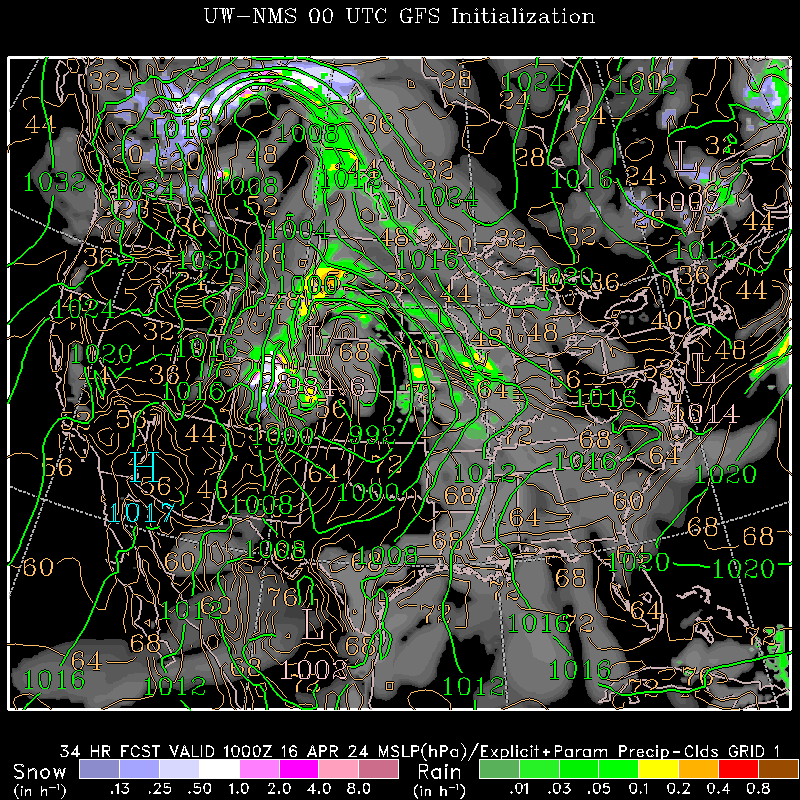
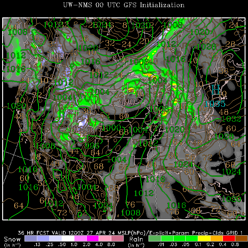
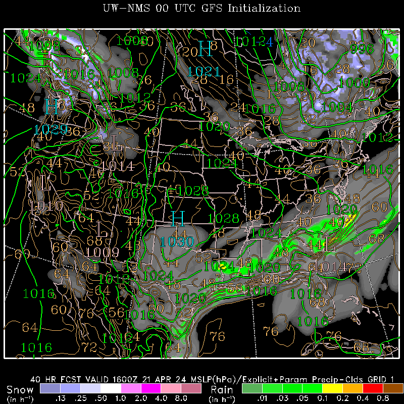
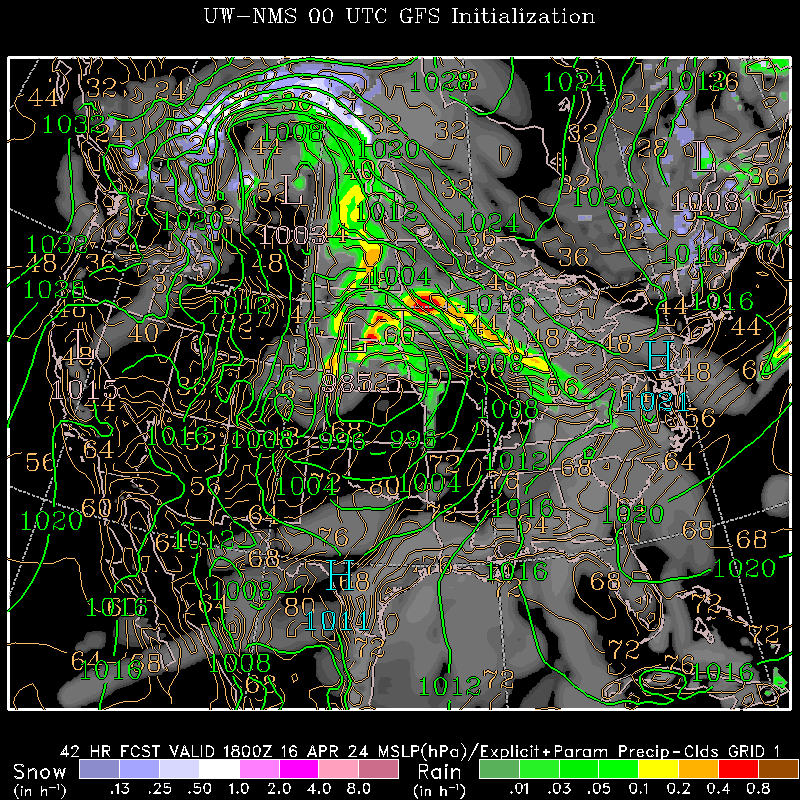
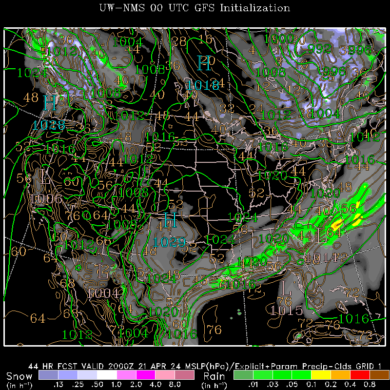
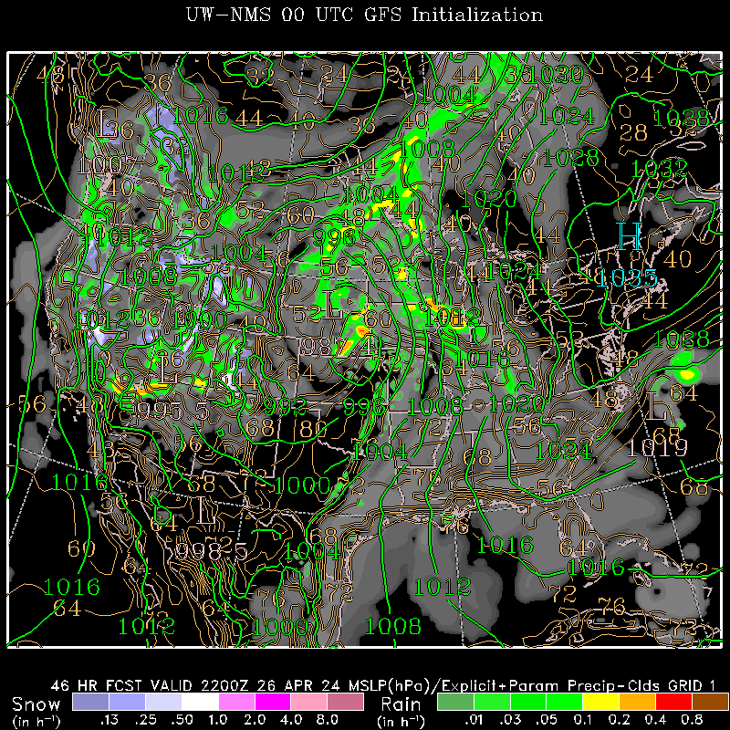
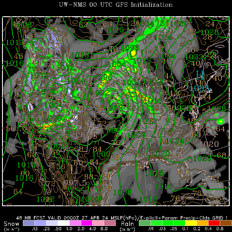
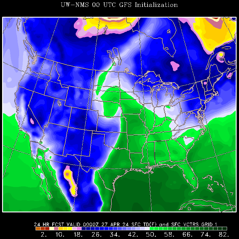
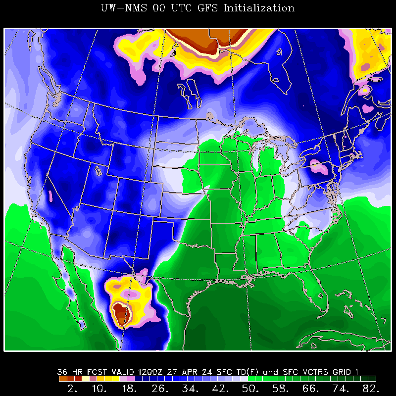
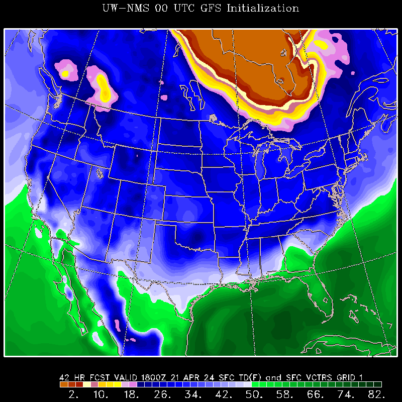
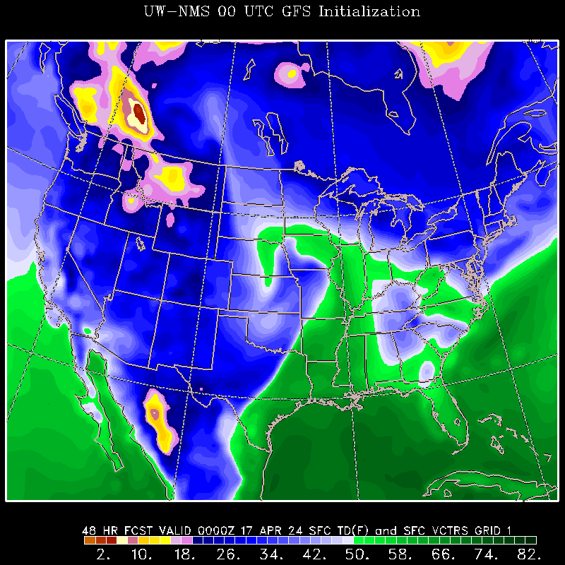
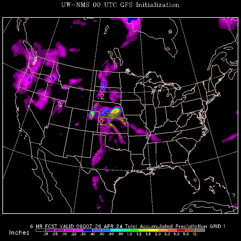
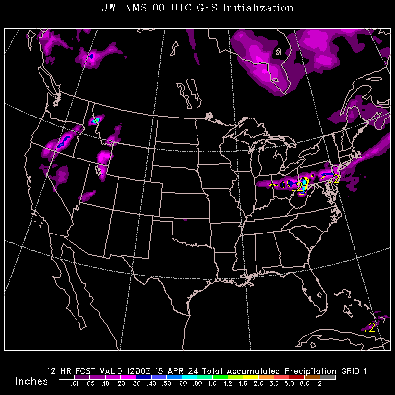
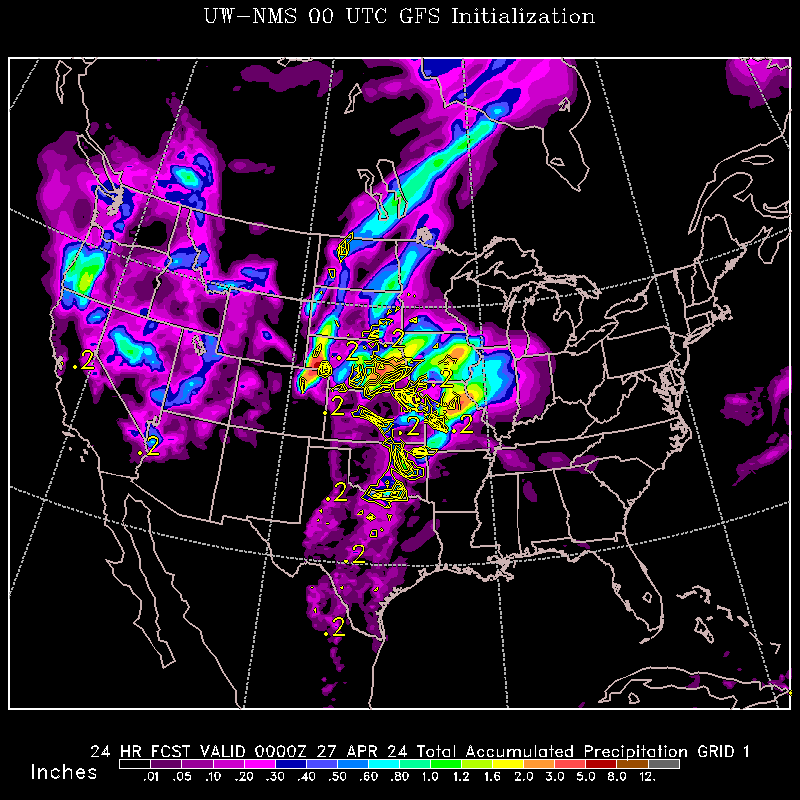
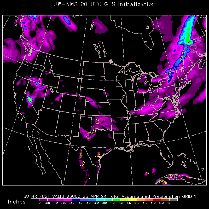
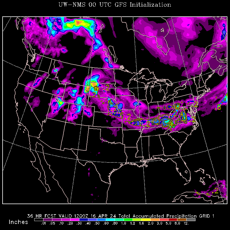
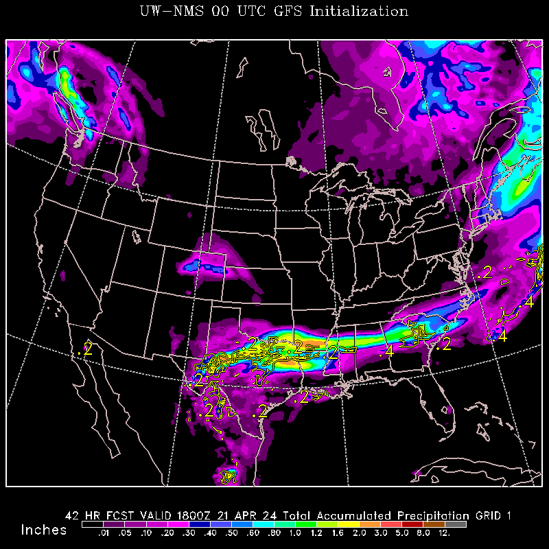
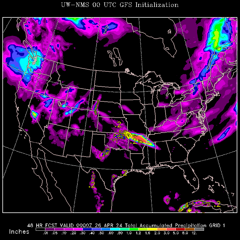
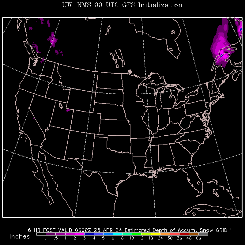
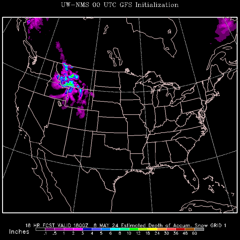
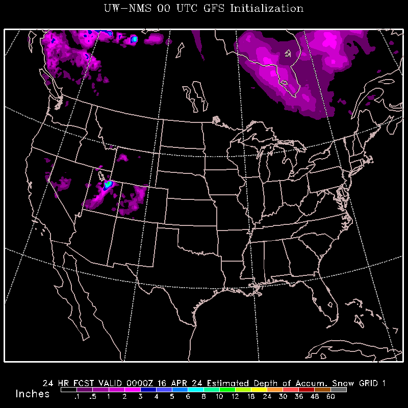
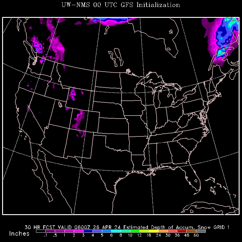
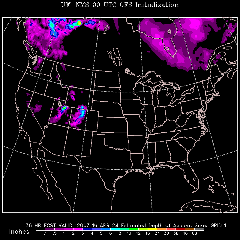
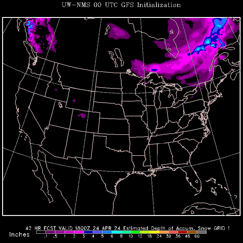
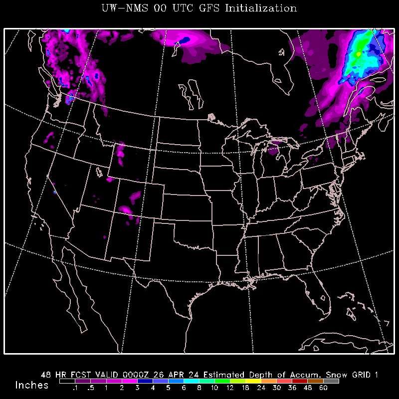
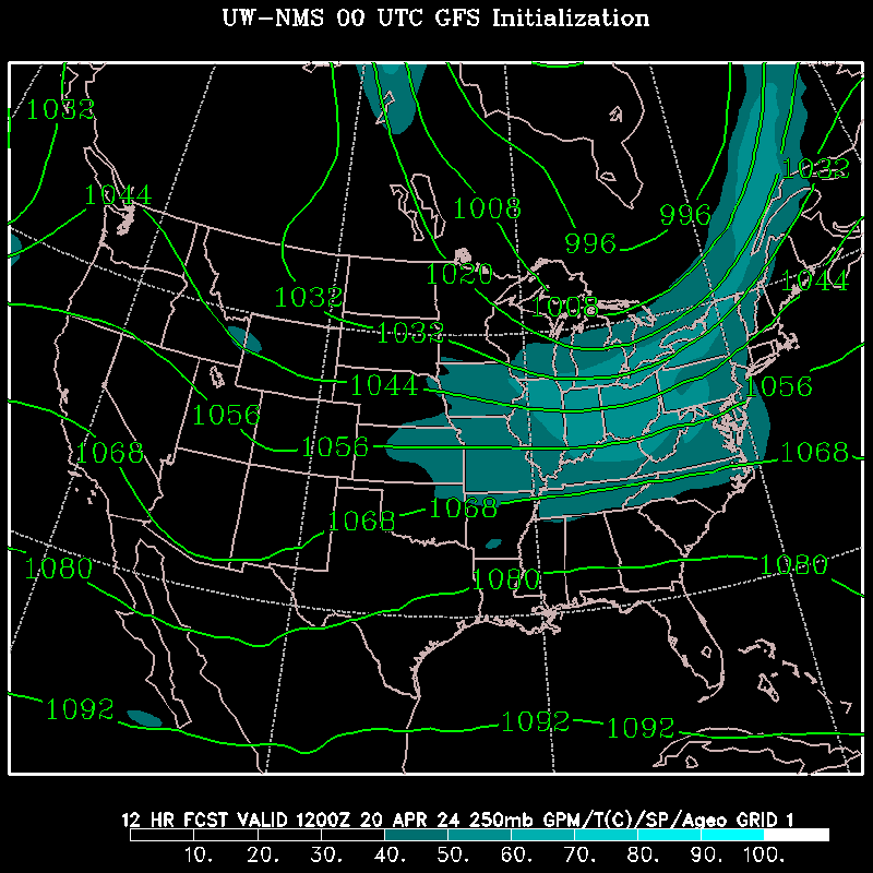
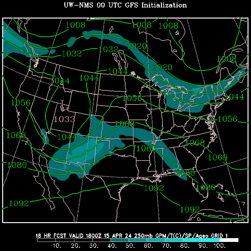
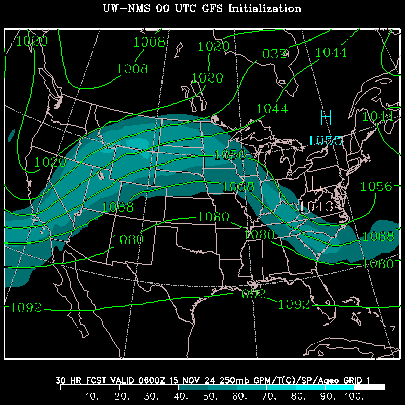
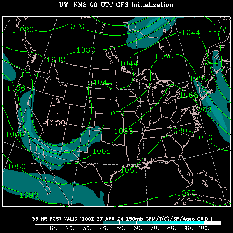
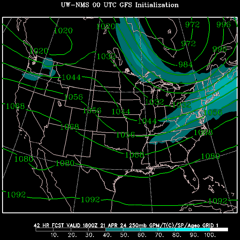
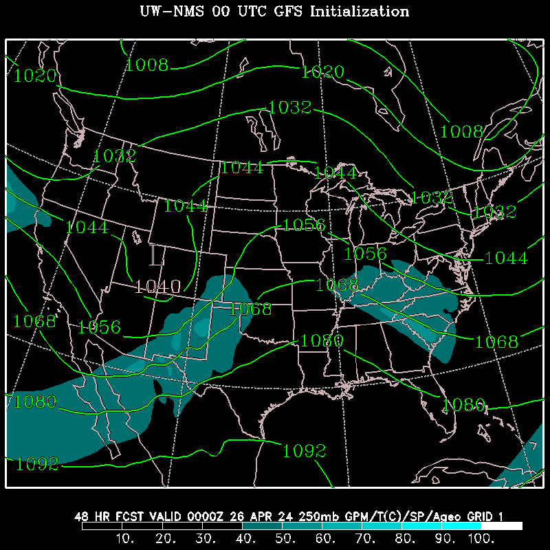
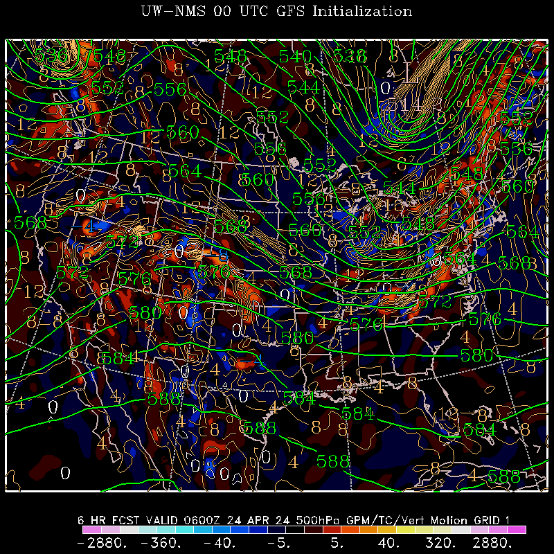
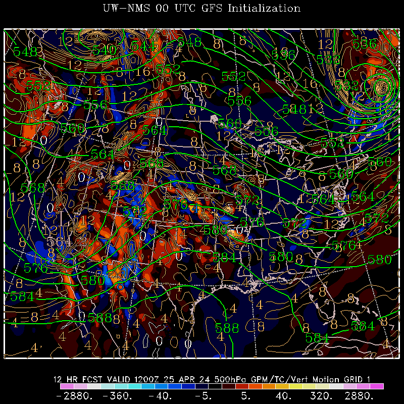
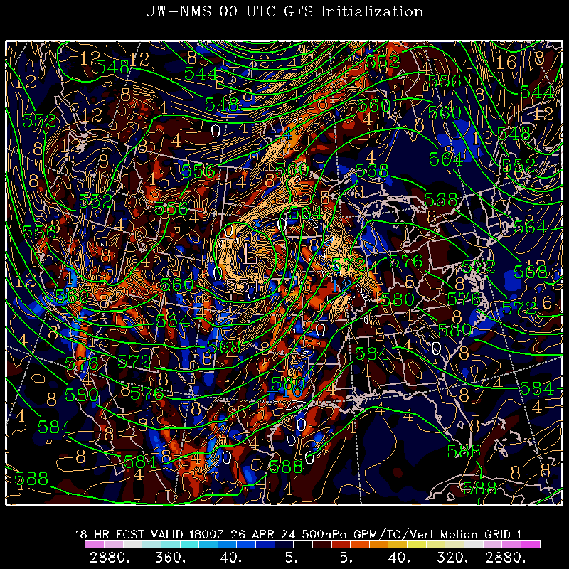
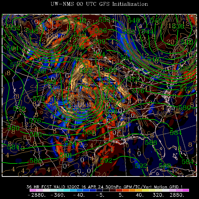
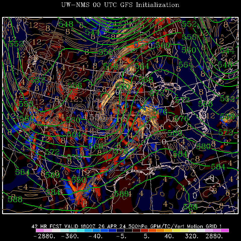
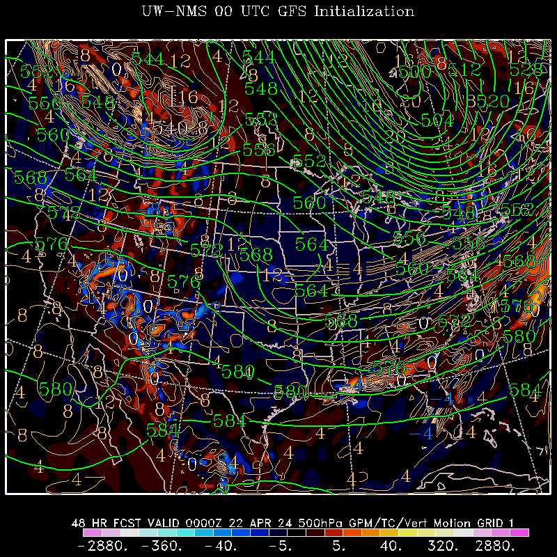
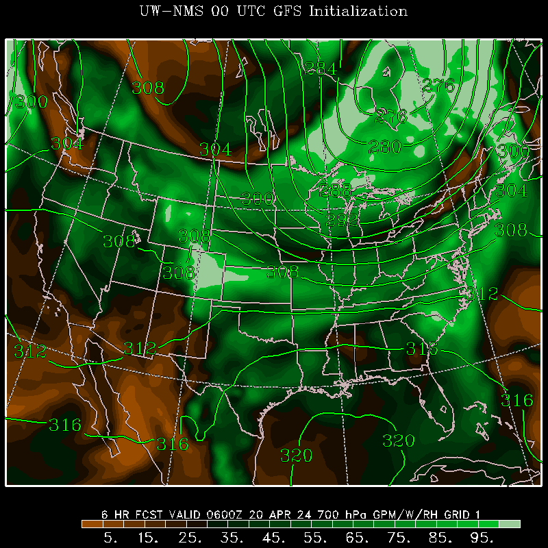
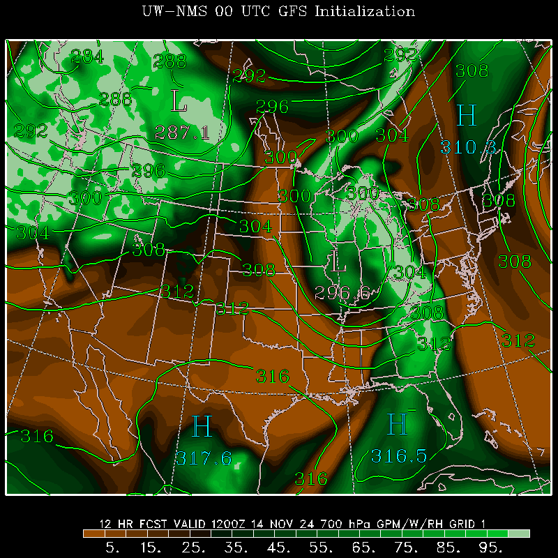
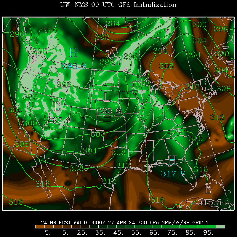
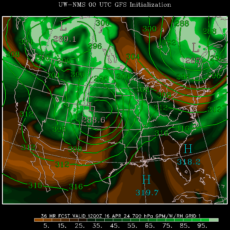
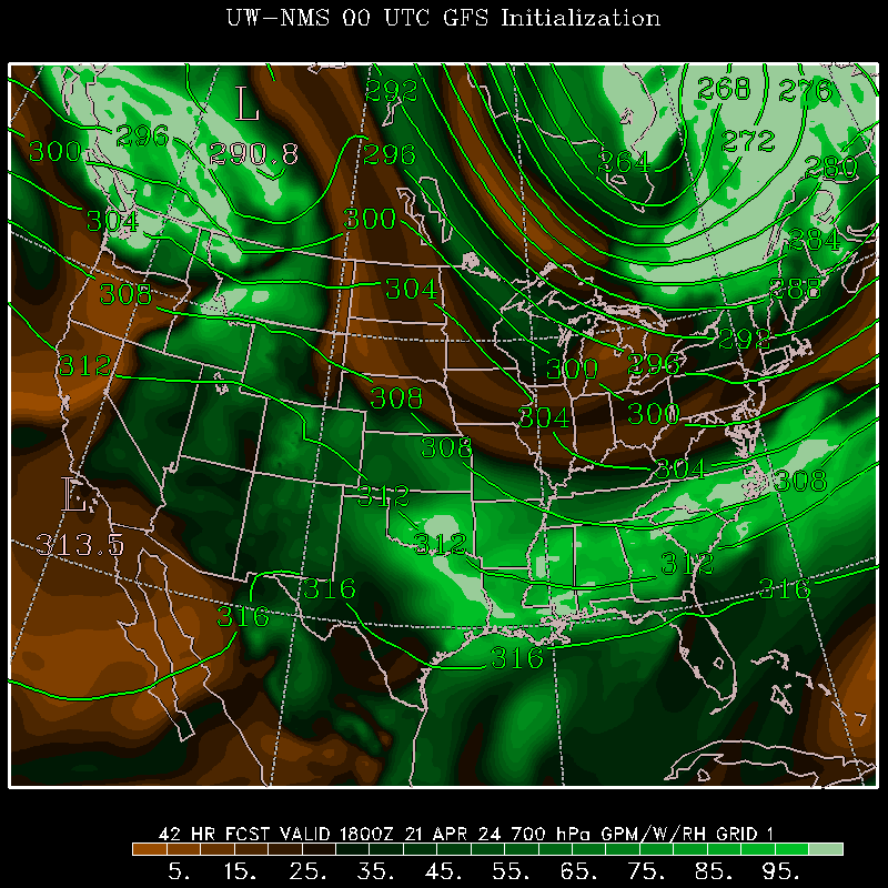
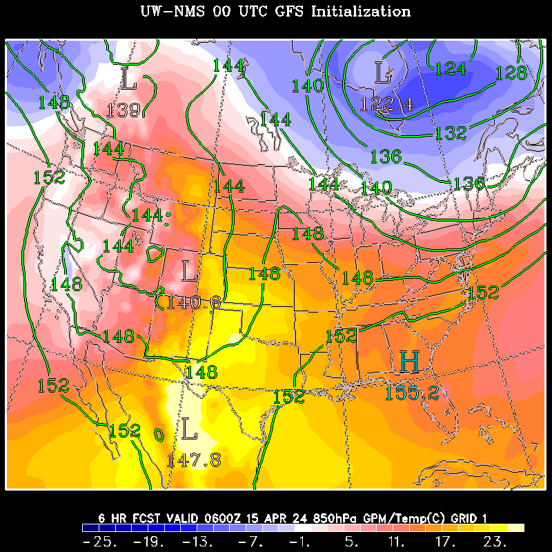
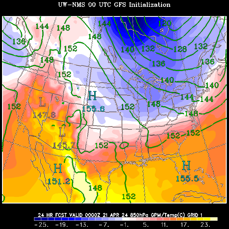
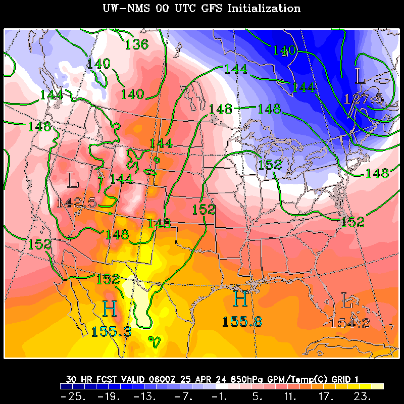
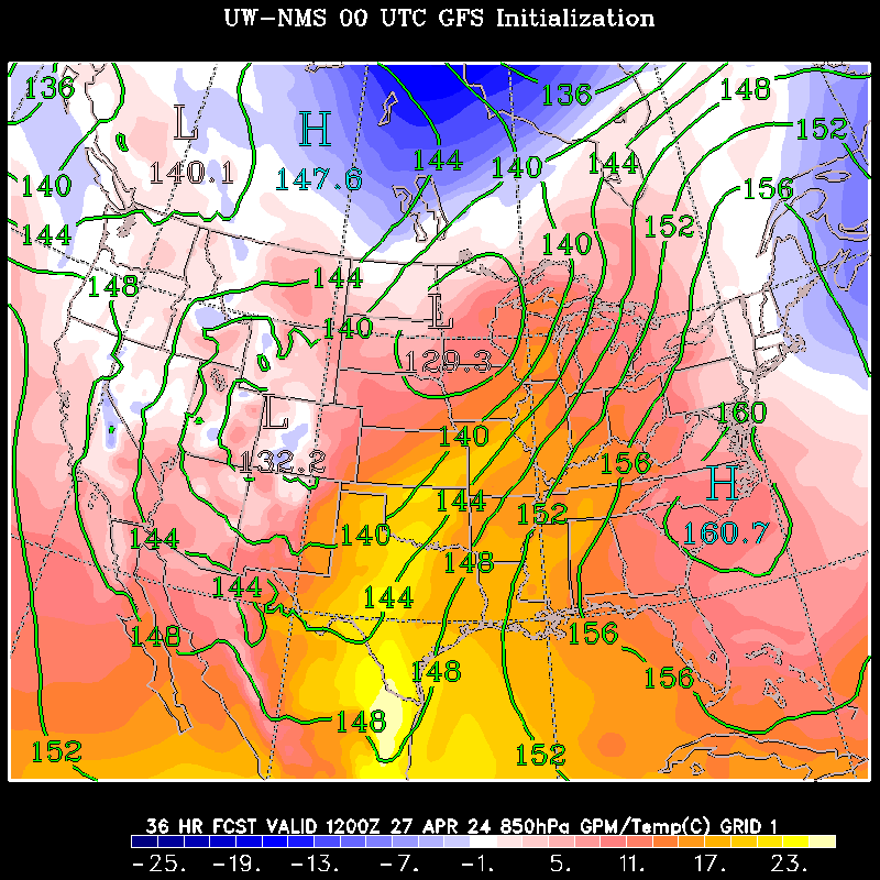
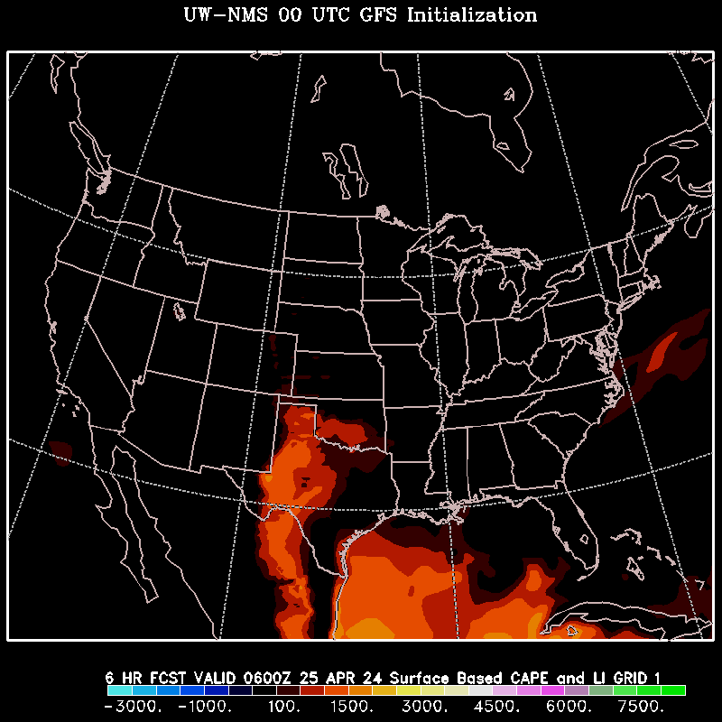
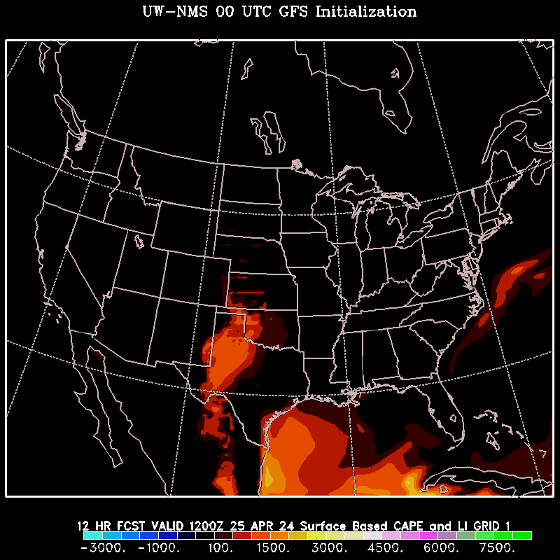
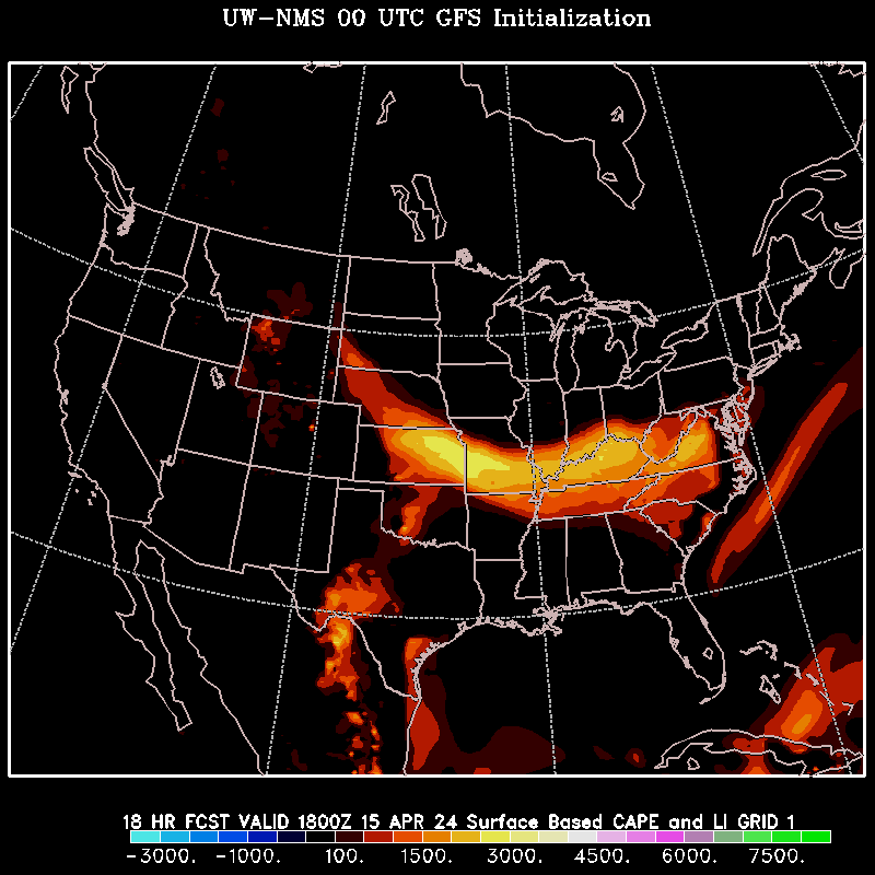
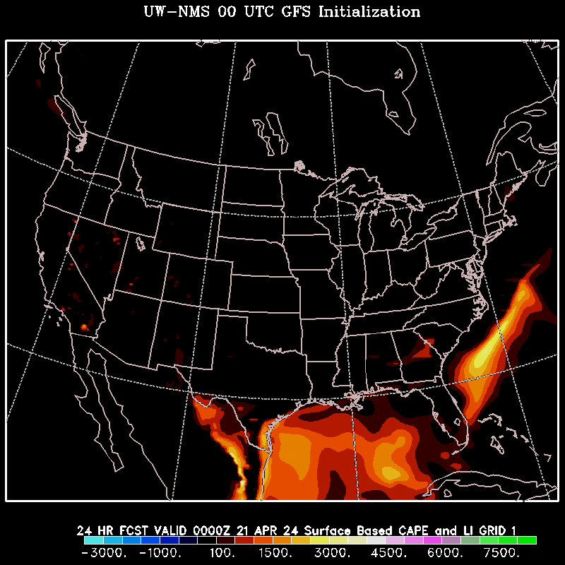
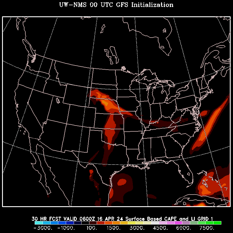
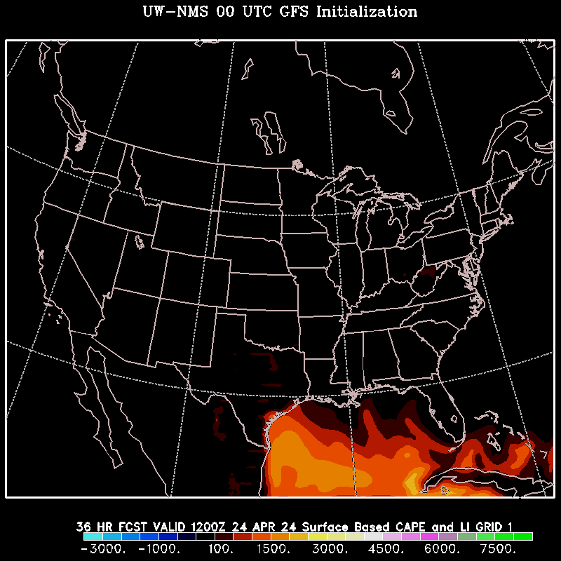
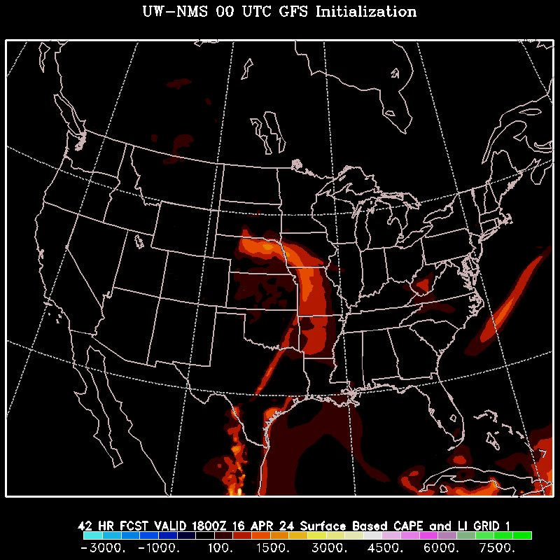
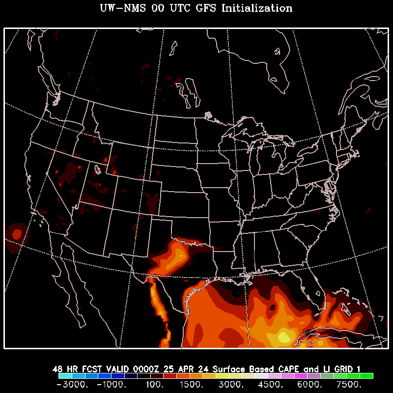
UW-NMS Model
University of Wisconsin Nonhydrostatic modeling system
UW-NMS Homepage
UW-NMS North America
UW-NMS with GFS Initialization
--------------------------
0z UW-NMS With 0z GFS Initialization
SLP/Precipitation: 2 | 4 | 6 | 8 | 10 | 12 | 14 | 16 | 18 | 20 | 22 | 24 | 26 | 28 | 30 | 32 | 34 | 36 | 38 | 40 | 42 | 44 | 46 | 48 |
Dewpoint: 6 | 12 | 18 | 24 | 30 | 36 | 42 | 48 |
Total Accum. Precipitation: 6 | 12 | 18 | 24 | 30 | 36 | 42 | 48 |
Total Accum. Snowfall: 6 | 12 | 18 | 24 | 30 | 36 | 42 | 48 |
250mb: 6 | 12 | 18 | 24 | 30 | 36 | 42 | 48 |
500mb: 6 | 12 | 18 | 24 | 30 | 36 | 42 | 48 |
700mb: 6 | 12 | 18 | 24 | 30 | 36 | 42 | 48 |
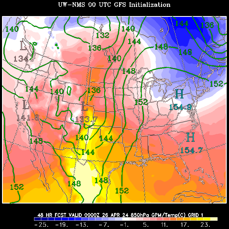
850mb: 6 | 12 | 18 | 24 | 30 | 36 | 42 | 48 |
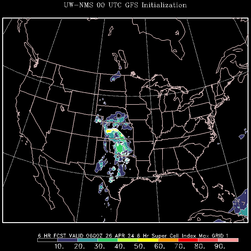
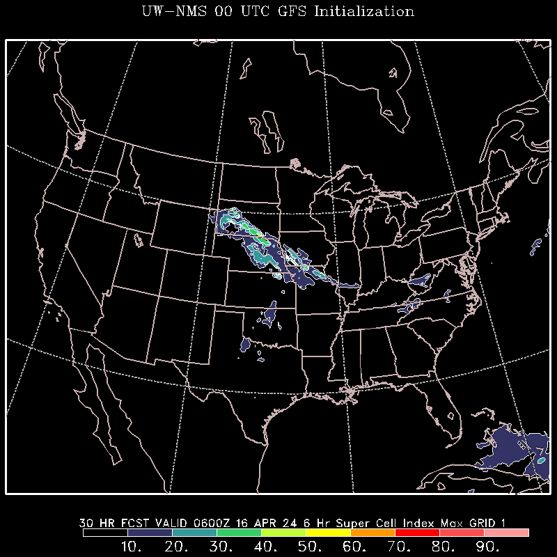
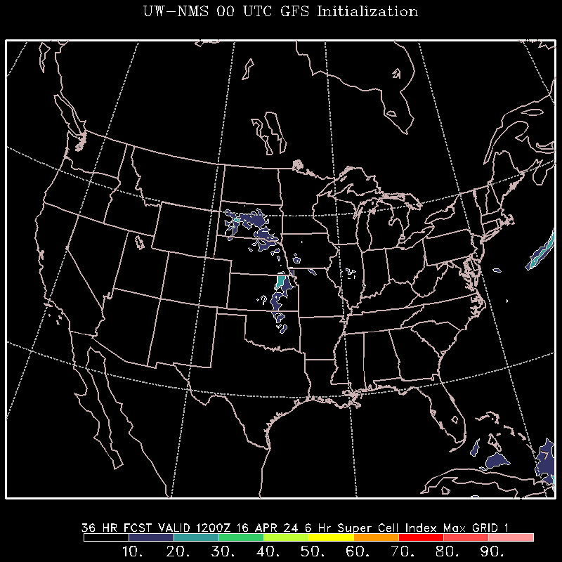
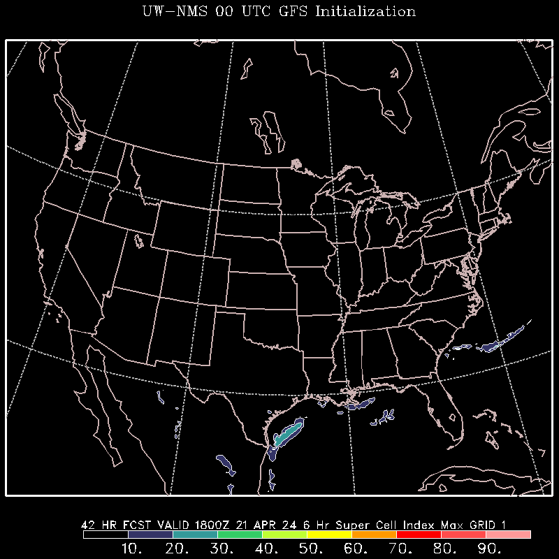
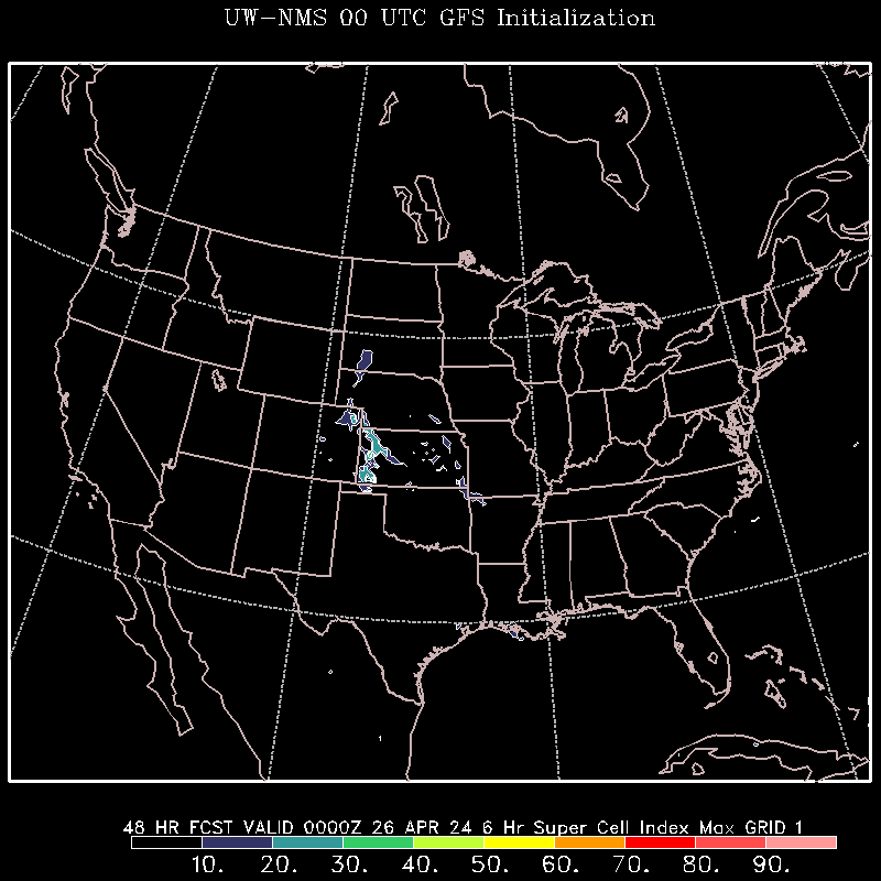
Supercell Index: 6 | 12 | 18 | 24 | 30 | 36 | 42 | 48 |
SFC Instability: 6 | 12 | 18 | 24 | 30 | 36 | 42 | 48 |
Stability: 6 | 12 | 18 | 24 | 30 | 36 | 42 | 48 |
6z UW-NMS with 6z GFS Initialization
SLP/Precipitation:
Dewpoint:
Total Accum. Precipitation:
Total Accum. Snowfall:
250mb:
500mb:
12z UW-NMS with 12z GFS Initialization
18z UW-NMS with 18z GFS Initialization
UW-NMS with NAM Initialization
0z UW-NMS with 0z NAM Initialization
6z UW-NMS with 6z NAM Initialization
UW-NMS Hurricanes
UW-NMS Homepage
UW-NMS North America
UW-NMS with GFS Initialization
--------------------------
0z UW-NMS With 0z GFS Initialization
SLP/Precipitation: 2 | 4 | 6 | 8 | 10 | 12 | 14 | 16 | 18 | 20 | 22 | 24 | 26 | 28 | 30 | 32 | 34 | 36 | 38 | 40 | 42 | 44 | 46 | 48 |
Dewpoint: 6 | 12 | 18 | 24 | 30 | 36 | 42 | 48 |
Total Accum. Precipitation: 6 | 12 | 18 | 24 | 30 | 36 | 42 | 48 |
Total Accum. Snowfall: 6 | 12 | 18 | 24 | 30 | 36 | 42 | 48 |
250mb: 6 | 12 | 18 | 24 | 30 | 36 | 42 | 48 |
500mb: 6 | 12 | 18 | 24 | 30 | 36 | 42 | 48 |
700mb: 6 | 12 | 18 | 24 | 30 | 36 | 42 | 48 |
850mb: 6 | 12 | 18 | 24 | 30 | 36 | 42 | 48 |
Supercell Index: 6 | 12 | 18 | 24 | 30 | 36 | 42 | 48 |
SFC Instability: 6 | 12 | 18 | 24 | 30 | 36 | 42 | 48 |
Stability: 6 | 12 | 18 | 24 | 30 | 36 | 42 | 48 |
6z UW-NMS with 6z GFS Initialization
SLP/Precipitation:
Dewpoint:
Total Accum. Precipitation:
Total Accum. Snowfall:
250mb:
500mb:
12z UW-NMS with 12z GFS Initialization
18z UW-NMS with 18z GFS Initialization
UW-NMS with NAM Initialization
0z UW-NMS with 0z NAM Initialization
6z UW-NMS with 6z NAM Initialization
UW-NMS Hurricanes
Monday, November 10, 2008
Thursday, October 9, 2008
SREF Model
SREF- Short Range Ensemble Forecast
SPC SREF
SREF Probabilities Americanwx
3z SREF Americanwx
9z SREF Americanwx
15z SREF Americanwx
21z SREF Americanwx
SREF Threat Viewer
SPC SREF
SREF Probabilities Americanwx
3z SREF Americanwx
9z SREF Americanwx
15z SREF Americanwx
21z SREF Americanwx
SREF Threat Viewer
RUC Model
RUC Model- An older generation model which has been replaced by the Rapid Refresh Model (Click Here for Rapid Refresh), but the RUC still runs.
ESRL RUC Model
RUC 0z Americanwx
RUC 3z Americanwx
RUC 6z Americanwx
RUC 9z Americanwx
RUC 12z Americanwx
RUC 15z Americanwx
RUC 18z Americanwx
RUC 21z Americanwx
ESRL RUC Model
RUC 0z Americanwx
RUC 3z Americanwx
RUC 6z Americanwx
RUC 9z Americanwx
RUC 12z Americanwx
RUC 15z Americanwx
RUC 18z Americanwx
RUC 21z Americanwx
Parallel NAM Model
Parallel NAM Model- a parallel run of the NAM model.
***Under Construction December 3, 2011***
NCEP Parallel NAM Model
SLP: 6 | 12 | 18 | 24 | 30 | 36 | 42 | 48 | 54 | 60 | 66 | 72 | 78 | 84 |
3-Hour Precipitation: 6 | 12 | 18 | 24 | 30 | 36 | 42 | 48 | 54 | 60 | 66 | 72 | 78 | 84 |
24-Hour Accumulated Precipitation: Hour 0-24 | Hour 24-48 | Hour 48-72 | Hour 60-84 |
Total Accumulated Precipitation: Hour 0-84
Monday, October 6, 2008

Sunday, September 21, 2008
Saturday, September 20, 2008
Tuesday, September 16, 2008

Wednesday, August 27, 2008
Monday, August 25, 2008
Thursday, August 14, 2008
Severe Weather Wall
SPC Outlooks
Day 1 (Today): Day 1 Outlook , Tornado , Hail , Damaging Wind
Day 2 (Tomorrow): Day 2 Outlook , Probabilistic Forecast
Day 3: Probabilistic and General Forecast
Days 4-8: General Forecast
SPC SREF Model
SPC Upper Air Soundings
NAM Severe Weather Page
Day 1 (Today): Day 1 Outlook , Tornado , Hail , Damaging Wind
Day 2 (Tomorrow): Day 2 Outlook , Probabilistic Forecast
Day 3: Probabilistic and General Forecast
Days 4-8: General Forecast
SPC SREF Model
SPC Upper Air Soundings
NAM Severe Weather Page
Winter Weather Wall
Welcome to the Winter Weather Wall, soon to become Mission Control for all winter weather related things.
(This post will no longer be updated. Look at the tab 'Winter Weather Wall' above for the regularly updated version.)
For Today
Probability of 4≤ inches of snow
Probability of 8≤ inches of snow
Probability of 12≤ inches of snow
Probability of .25≤ inches of ice
For Tomorrow
Probability of 4≤ inches of snow
Probability of 8≤ inches of snow
Probability of 12≤ inches of snow
Probability of .25≤ inches of ice
For the Day after Tomorrow
Probability of 4≤ inches of snow
Probability of 8≤ inches of snow
Probability of 12≤ inches of snow
Probability of .25≤ inches of ice
HPC-Related Forecasts
HPC SREF-Derived Impact Guidance (Intensity, Visibility, Duration Forecasts)
HPC Heavy Snow Discussion
Snowfall Accumulation Forecasts
DGEX 6 hour snow Accumulation Forecast
DGEX Hours 84-192 Total Snow Accumulation Forecast
NAM 0z/12z Snowfall Forecasts
NAM 6z/18z Snowfall Forecasts
GFS 0z/12z Snowfall Forecasts
GFS 6z/18z Snowfall Forecasts
Note: DGEX model can be considered 'unreliable' in some long-range forecasts.
Saturday, July 5, 2008
Friday, July 4, 2008
High Resolution Rapid Refresh (HRRR) Short Range Model
HRRR ESRL Hourly
HRRR ESRL 15-min
HRRR Convective Probability Forecast (takes a long time to load, only use if your computer can handle it.)
HRRR ESRL 15-min
HRRR Convective Probability Forecast (takes a long time to load, only use if your computer can handle it.)
UKMET Model
UKMET MODEL RUNS
The UKMET Model is a model made by the United Kingdom. It goes out to 72 hours and is updated twice a day.
DGEX Model
DGEX MODEL RUNS
The DGEX Model is a model that starts at 84 hours and forecasts for 4 days. The DGEX is actually an extended version of the NAM model.
GEM Model Ensembles (GGEM)
GGEM ENSEMBLE MODEL RUNS
This is the ensembles that put together the GEM/CMC model. Suggested for more avid weather folk.
GEM Model
CMC (GEM) MODEL RUNS
The GEM, also called the CMC, is a model by the Canadian weather service.
NOGAPS Model
NOGAPS MODEL RUNS
The NOGAPS model is made by the US Navy. It runs out to approximately a week.
HIRESW Model
HIRESW MODEL RUNS
The HIRESW Model is a minor model not widely known about.
It is run for the US 3 times a day, and Alaska the fourth. The HIRESW goes out to 48 hours.
ECMWF Ensemble Model
ECMWF ENSEMBLE MODEL RUNS
The ECMWF Ensemble goes out to the same time frame as the ECMWF model (240 hours). These ensembles put together the ECMWF model. Suggested for more enthusiastic weather people.
ECMWF Model Ensembles Americanwx
Problem identified with link below. We are working to fix it.
ECMWF Ensembles
Problem identified with link below. We are working to fix it.
ECMWF Ensembles
ECMWF Model
ECMWF MODEL RUNS
The ECMWF Model is considered an excellent model for winter weather, which is difficult to forecast. The ECMWF goes out to 10 days in Long-Range, with 7 days in the medium range.
GFS Ensembles (GEFS)
GEFS MODEL RUNS
The GEFS Model is an ensemble forecast system as well based off the GFS. It goes to 16 days in the forecast.
Thursday, July 3, 2008
GFS Model
GFS MODEL
The GFS (Global Forecast Model) is a model from the National Weather Service. The model forecasts up to 16 days out. It is updated 4 times a day, and is considered one of the 'big guns' in the weather model world. For a simple forecast, use the GFS Model Unisys link.
***Under Construction December 11, 2011***
***Under Construction December 11, 2011***
GFS Model 00z North America e-WALL
4-Panel: 6 | 12 | 18 | 24 | 30 | 36 | 42 | 48 | 54 | 60 | 66 | 72 | 78 | 84 | 90 | 96 | 102 | 108 | 114 | 120 | 126 | 132 | 138 | 144 | 150 | 156 | 162 | 168 | 174 | 180 |
GFS Model 06z North America e-WALL
4-Panel: 6 | 12 | 18 | 24 | 30 | 36 | 42 | 48 | 54 | 60 | 66 | 72 | 78 | 84 | 90 | 96 | 102 | 108 | 114 | 120 | 126 | 132 | 138 | 144 | 150 | 156 | 162 | 168 | 174 | 180 |
GFS Model 06z North America e-WALL
NAM Model
NAM MODEL
The NAM model is a model that goes out to 84 hours. It is updated 4 times a day and is a widely used model. For a simple forecast, use the Wunderground model link.
***Under Construction December 3, 2011***
***Under Construction December 3, 2011***
NAM Unisys
Precipitation: 6 | 12 | 18 | 24 | 30 | 36 | 42 | 48 | 54 | 60 |
Surface Temp: 6 | 12 | 18 | 24 | 30 | 36 | 42 | 48 | 54 | 60 |
1000mb: 6 | 12 | 18 | 24 | 30 | 36 | 42 | 48 | 54 | 60 |
850mb: 6 | 12 | 18 | 24 | 30 | 36 | 42 | 48 | 54 | 60 |
700mb: 6 | 12 | 18 | 24 | 30 | 36 | 42 | 48 | 54 | 60 |
500mb: 6 | 12 | 18 | 24 | 30 | 36 | 42 | 48 | 54 | 60 |
300mb: 6 | 12 | 18 | 24 | 30 | 36 | 42 | 48 | 54 | 60 |
RH/Lift: 6 | 12 | 18 | 24 | 30 | 36 | 42 | 48 | 54 | 60 |
NAM 0z Americanwx
NAM 6z Americanwx
NAM 12z Americanwx
NAM 18z Americanwx
NAM/Parallel NAM/GFS Comparison
NAM Model Snowfall: Click Here
Precipitation: 6 | 12 | 18 | 24 | 30 | 36 | 42 | 48 | 54 | 60 |
Surface Temp: 6 | 12 | 18 | 24 | 30 | 36 | 42 | 48 | 54 | 60 |
1000mb: 6 | 12 | 18 | 24 | 30 | 36 | 42 | 48 | 54 | 60 |
850mb: 6 | 12 | 18 | 24 | 30 | 36 | 42 | 48 | 54 | 60 |
700mb: 6 | 12 | 18 | 24 | 30 | 36 | 42 | 48 | 54 | 60 |
500mb: 6 | 12 | 18 | 24 | 30 | 36 | 42 | 48 | 54 | 60 |
300mb: 6 | 12 | 18 | 24 | 30 | 36 | 42 | 48 | 54 | 60 |
RH/Lift: 6 | 12 | 18 | 24 | 30 | 36 | 42 | 48 | 54 | 60 |
NAM 0z Americanwx
NAM 6z Americanwx
NAM 12z Americanwx
NAM 18z Americanwx
NAM/Parallel NAM/GFS Comparison
NAM Model 18z e-WALL
NAM Model Snowfall: Click Here
Short Range Models
HIRESW MODEL RUNS
The HIRESW Model is a minor model not widely known about.
It is run for the US 3 times a day, and Alaska the fourth. The HIRESW goes out to 48 hours.
SREF MODEL RUNS
The SREF (Short Range Ensemble Forecast) is run 4 times a day at times in between other model runs. They run at odd times. The SREF is known as a very reliable model for short-range views on storms.
RUC MODEL RUNS (One hour forecasts each)
The RUC (Rapid Update Cycle) model is a short range model updated every hour. It goes out to 4 hours. The RUC is going to be replaced in August 2011 by the Rapid Refresh model. For a simple forecast, use the RUC Model Unisys link.
Friday, June 27, 2008
Saturday, June 14, 2008
Sunday, June 1, 2008
Wednesday, May 28, 2008
Thursday, May 15, 2008
Saturday, May 10, 2008
Monday, April 28, 2008
Friday, April 25, 2008
Thursday, April 24, 2008
Tuesday, April 22, 2008
Saturday, April 5, 2008
Friday, March 28, 2008
Saturday, March 22, 2008
Tuesday, March 18, 2008
Subscribe to:
Posts (Atom)